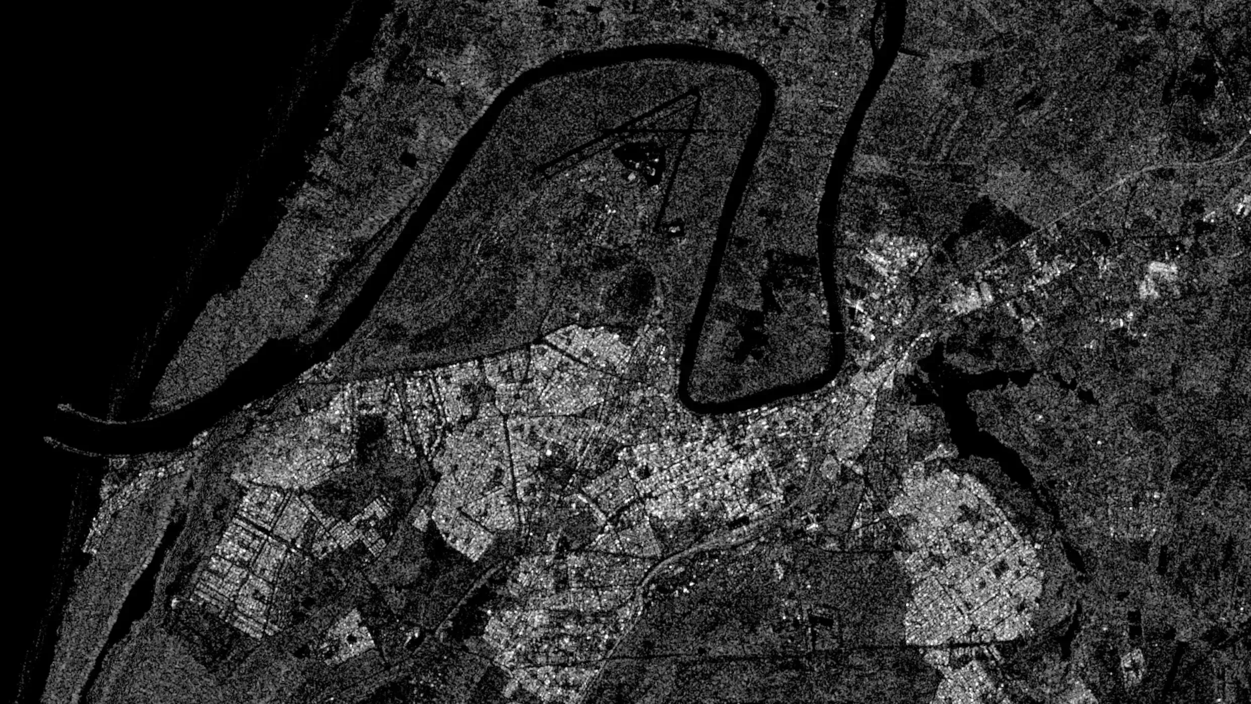
Because every project is unique, we direct you to the most relevant data - multispectral, hyperspectral or radar - depending on the resolution and the most suitable supplier.
Satellite data downscaling (Super-Resolution)
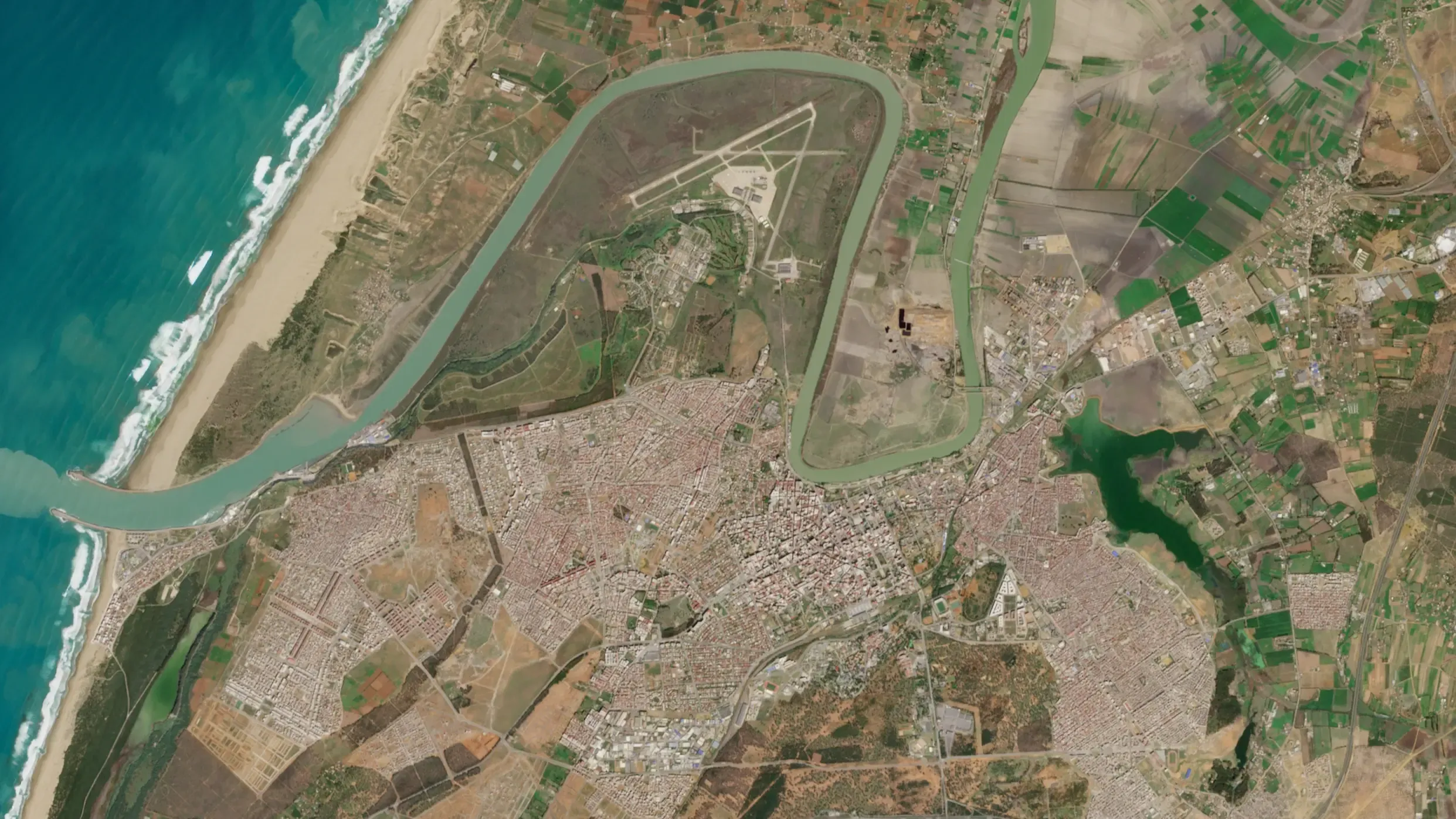
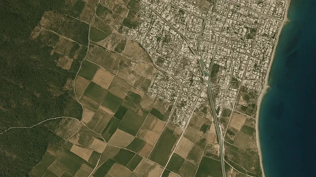
Benefit from very high-resolution satellite images, refined down to 1 meter (10x) and even 30 centimeters (33x), for optimum precision in your projects.
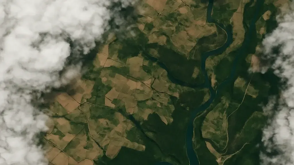
Remove clouds from satellite images
To ensure broad temporal coverage, we can help you improve the quality of satellite images with <30% cloud cover by removing them.