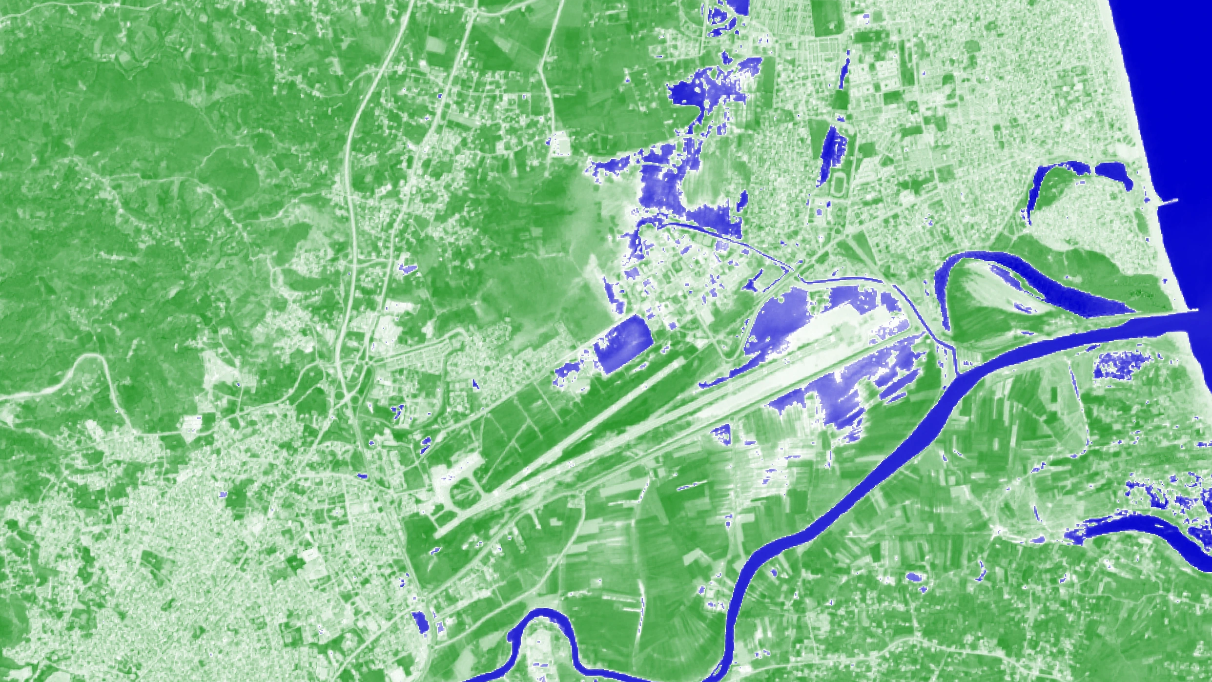
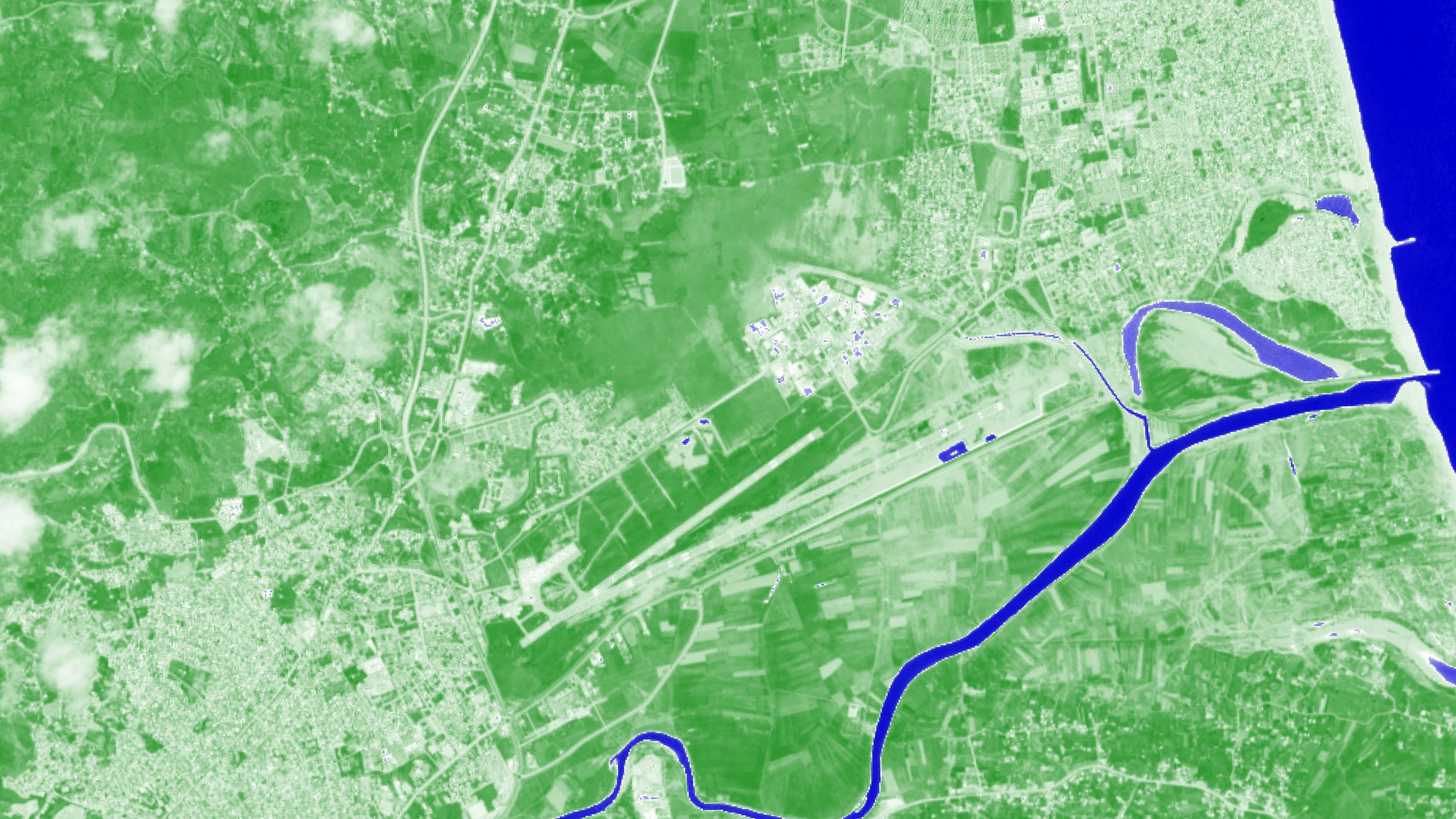
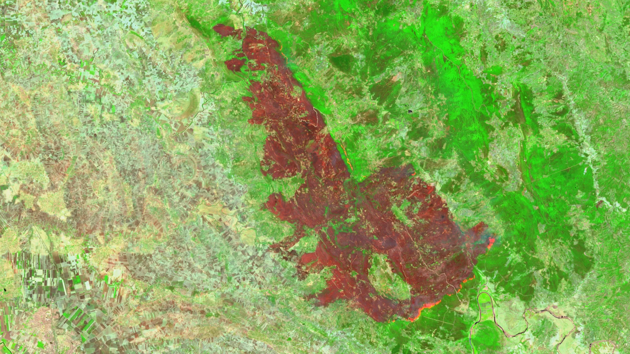
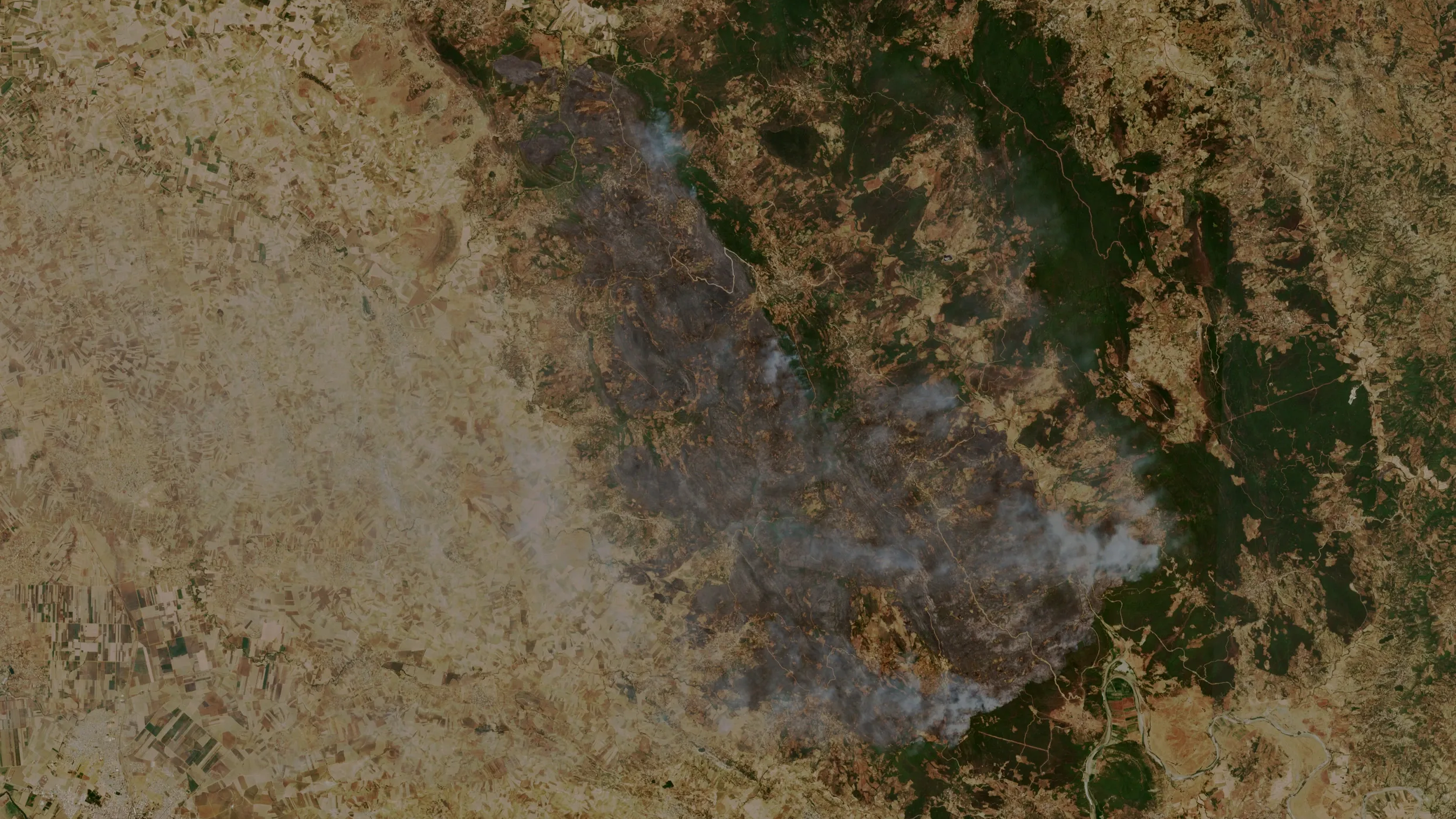
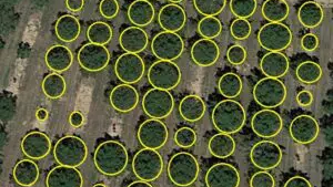
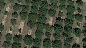
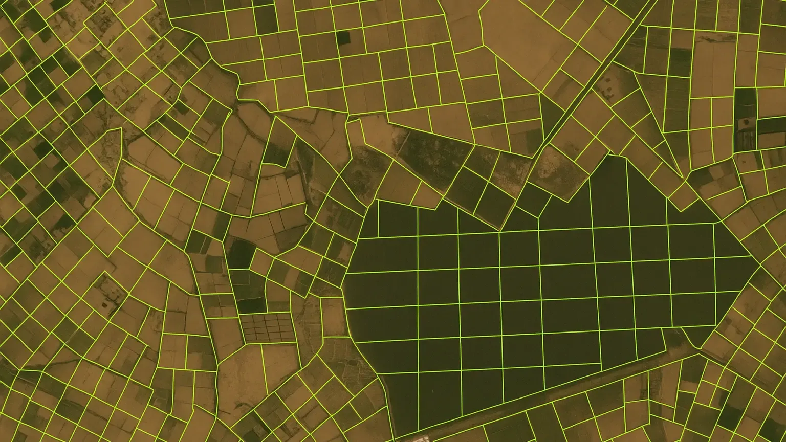
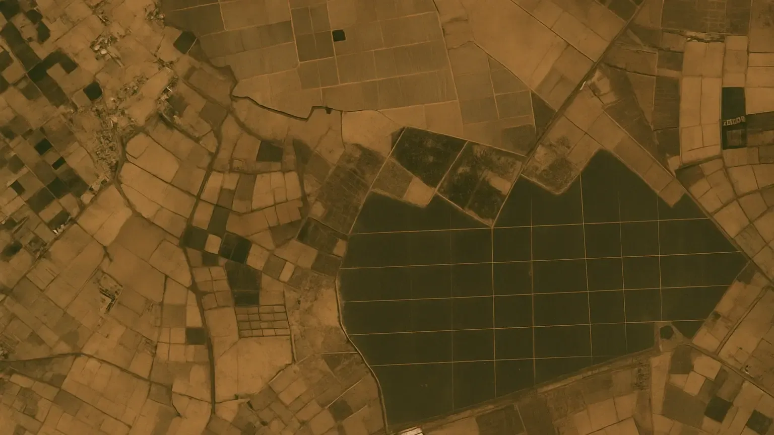
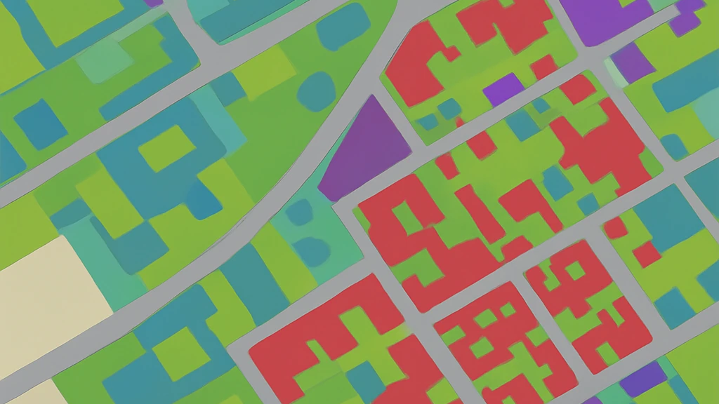
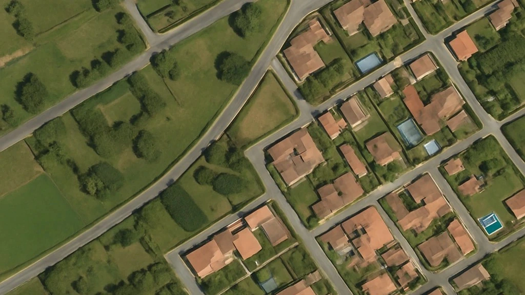
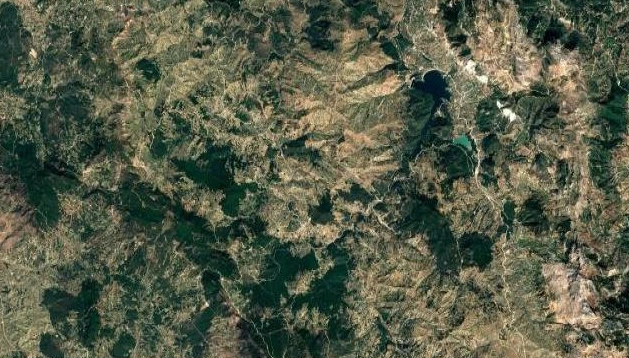
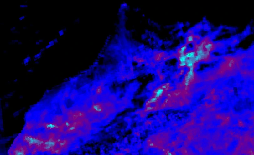
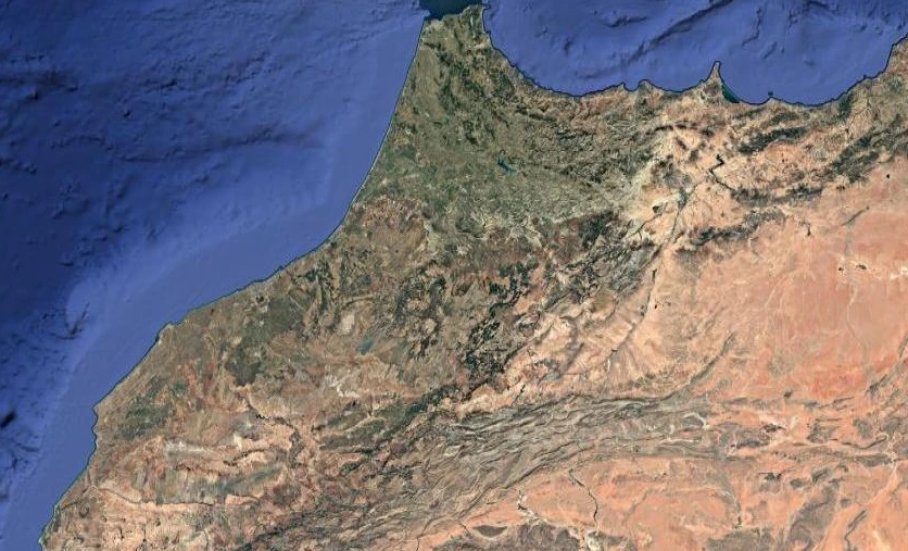
Harness satellite-based object detection and change monitoring to inventory resources, track environmental or infrastructural shifts, and gain real-time insights for data-driven territory management.
In the event of a natural disaster, we provide a rapid and accurate assessment of the affected areas. Using satellite imagery, we identify damaged infrastructure, blocked roads, and high-risk zones to help you efficiently plan your emergency response and reconstruction efforts.
Flooded Area Detection
We map flooded areas in real time—even under cloud cover—allowing you to quickly locate high-risk zones, assess the extent of damage, and coordinate emergency response. An essential solution for flood management and risk prevention.
Forest Fire Monitoring
Our service alerts you to fire outbreaks, monitors their progression, and maps burned areas. It helps you anticipate risks, assess damages, and better target your intervention and reforestation efforts, providing a clear understanding of the situation on the ground.
Tree identification and inventorying
Automatically detects and counts individual palm trees in high-resolution satellite or aerial imagery using deep learning techniques. This tool helps monitor agricultural assets, estimate biomass, and support precision farming by providing accurate tree inventories over large areas.
Identification of Agricultural Plots
Optimize your agricultural policies through precise identification of plots and crops. We delineate cultivated areas, detect land use changes, and provide reliable data for monitoring agricultural seasons, subsidies, and resource planning.
Land use and land cover segmentation
Benefit from detailed mapping of land use over your territory, urban, agricultural, natural areas, and more. This clear overview enables better decision-making in urban planning, environmental management, and land development, with up-to-date, ready-to-use data.
Carbon Sink Identification
Measure the carbon storage potential of your territories with our natural sink identification service. We analyze vegetation and ecosystems to help you highlight your sustainability efforts, support your CSR commitments, or develop carbon offset projects.
Air Quality Assessment
Monitor air pollution on a large scale with our space-based observation solution. We provide concentration maps of major pollutants to support your environmental monitoring efforts, public health protection, or citizen awareness initiatives.